
Things to do くりはらでしたい10のこと
Kurihara trip
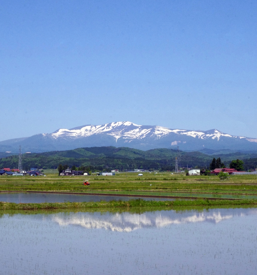
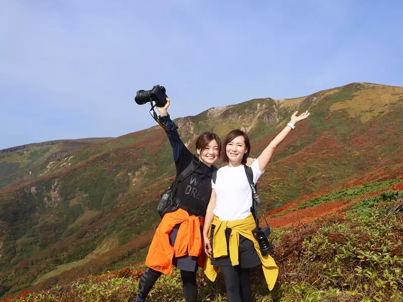
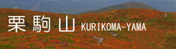
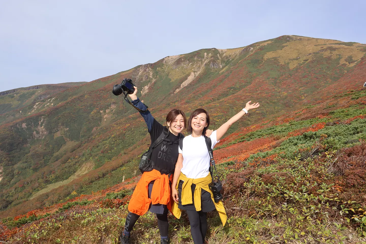
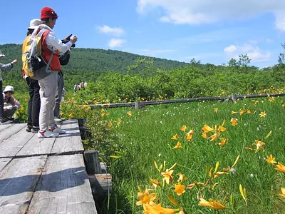
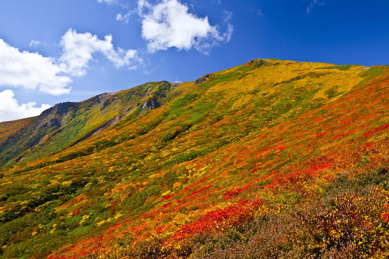
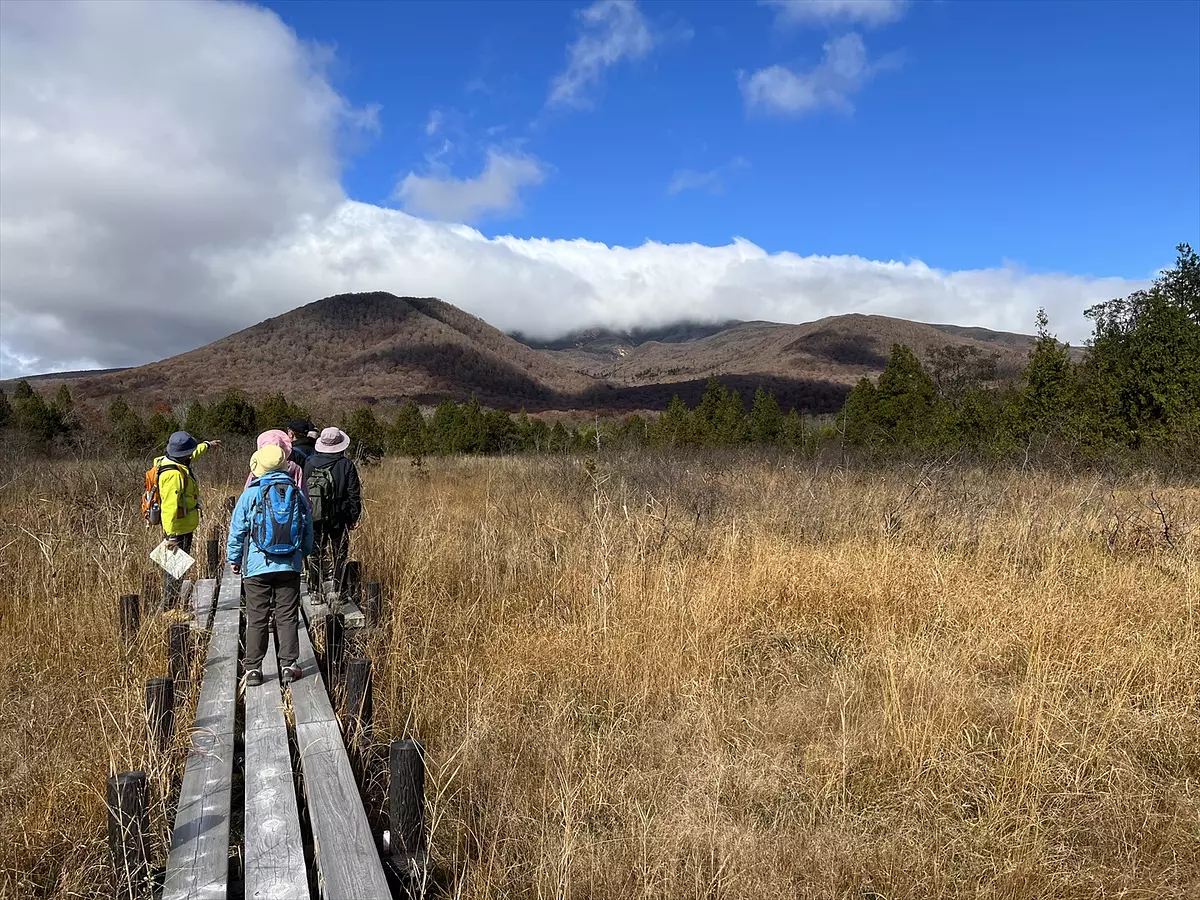
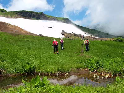
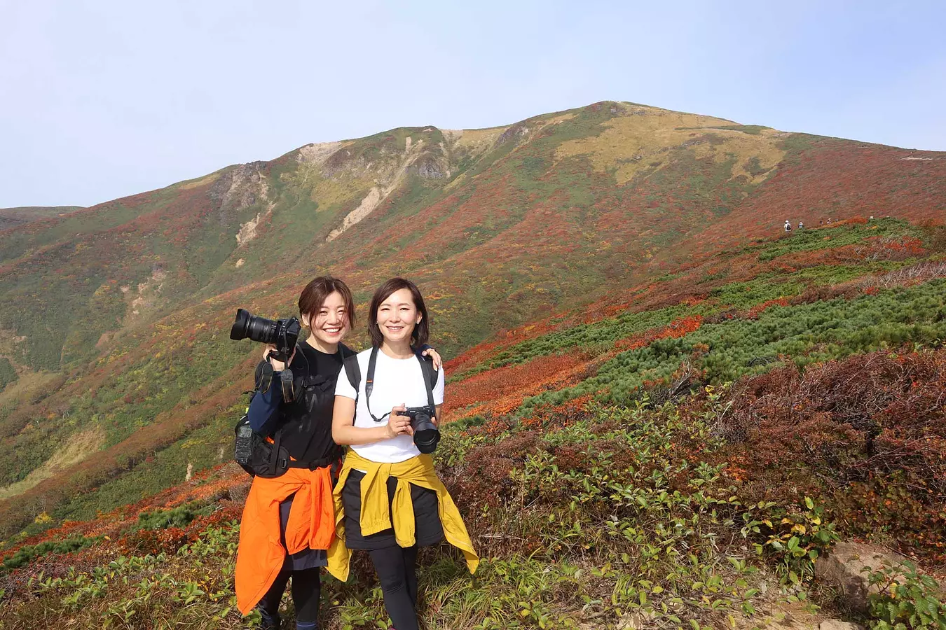
1 栗駒山で登山&ハイキング
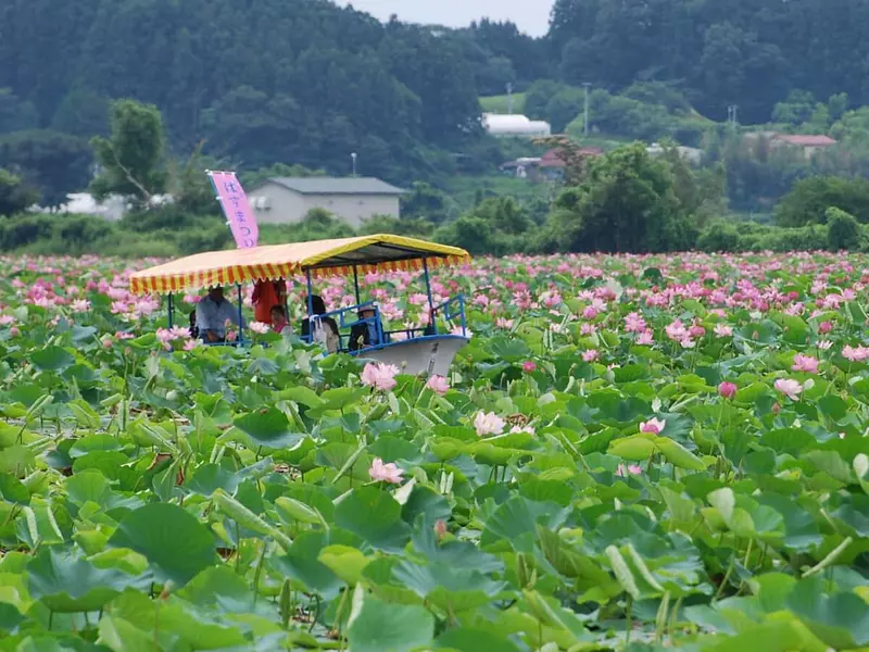
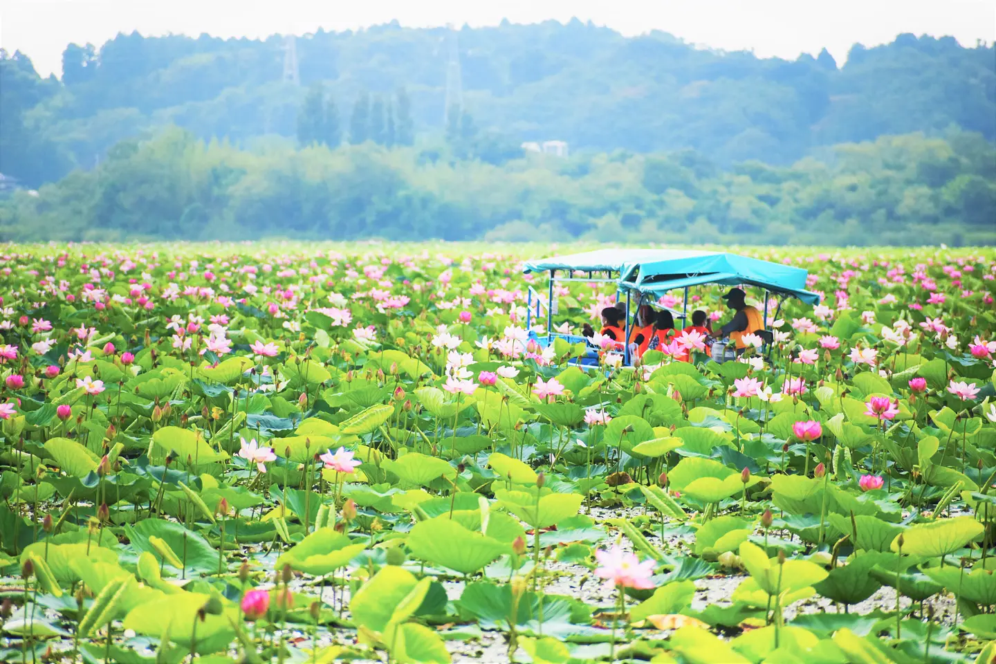
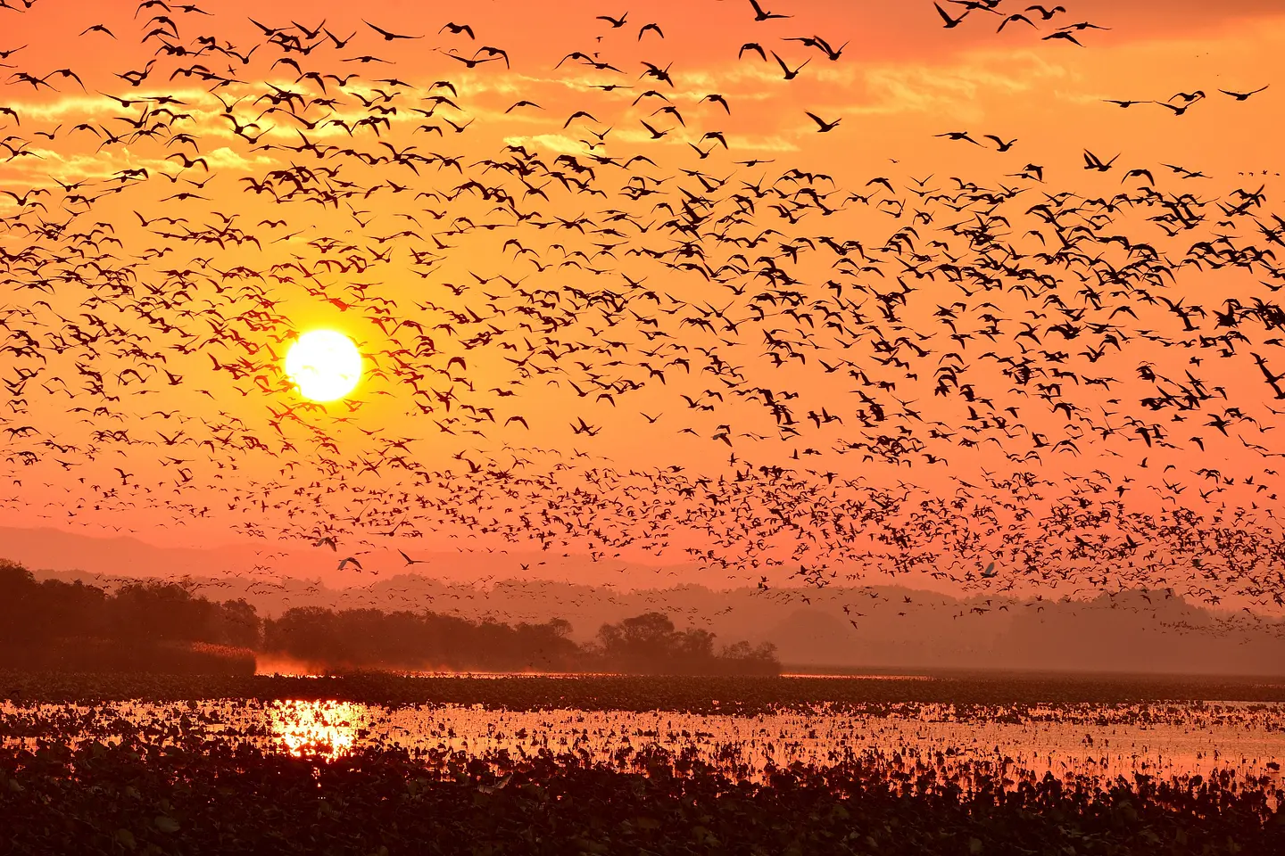
2 ここは天国?伊豆沼・内沼
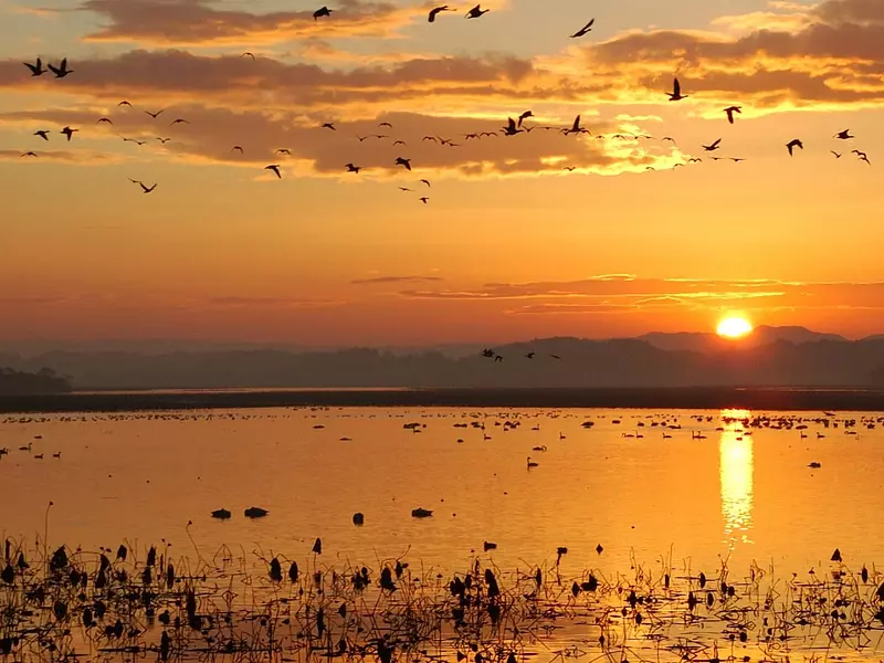
3 渡り鳥の聖地は幻想的

4 懐かしい商店街をお散歩
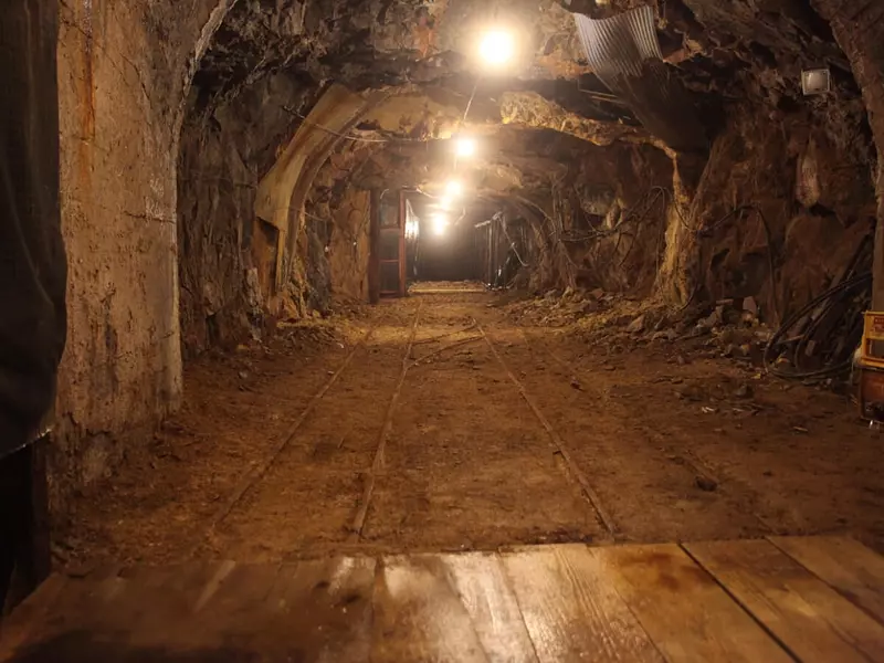
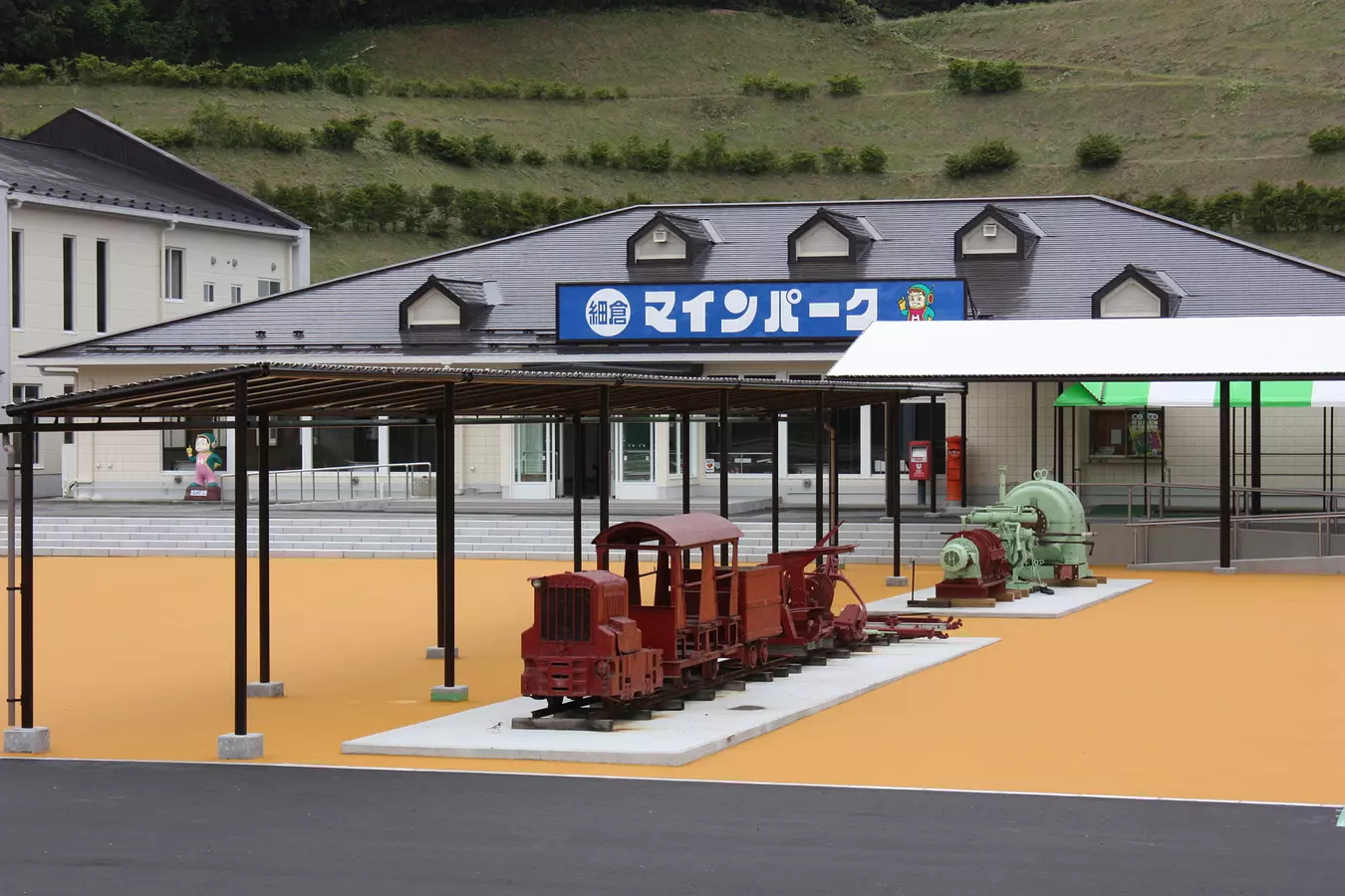
5 細倉鉱山で学ぶ産業遺産
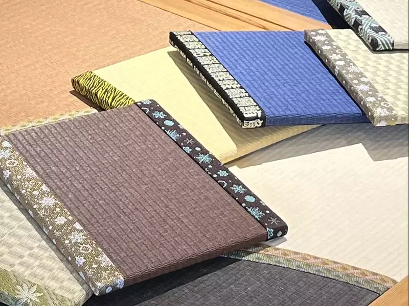
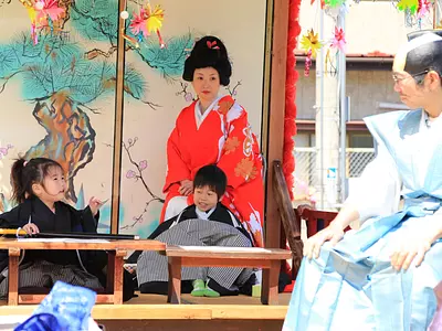
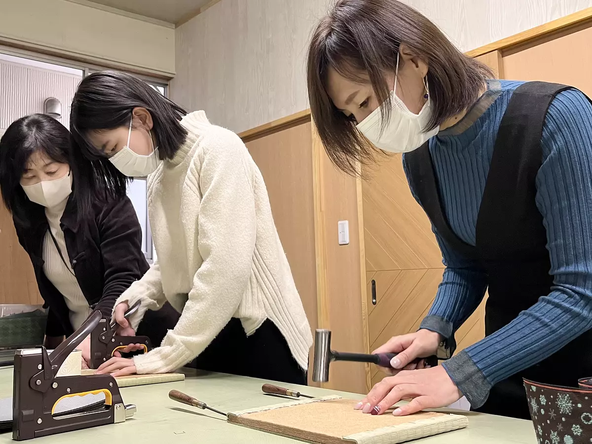
6 親子で体験 ミニ畳作り
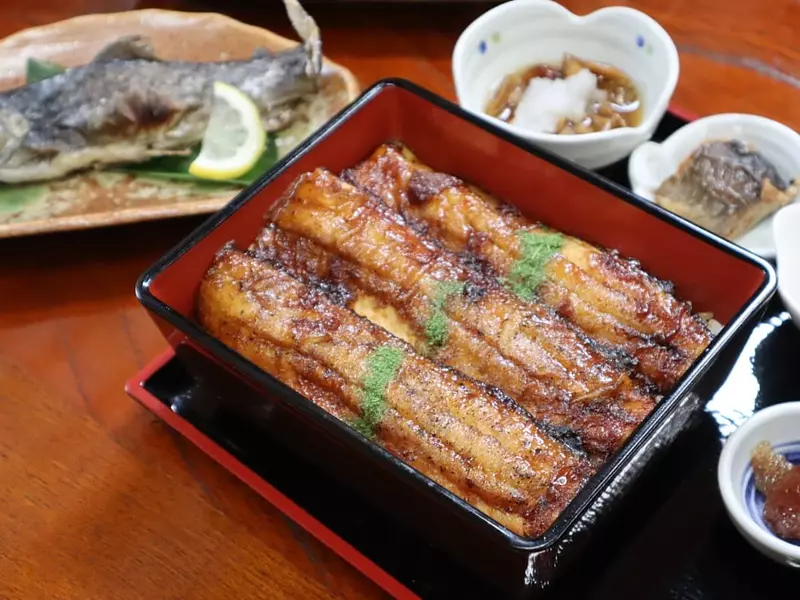
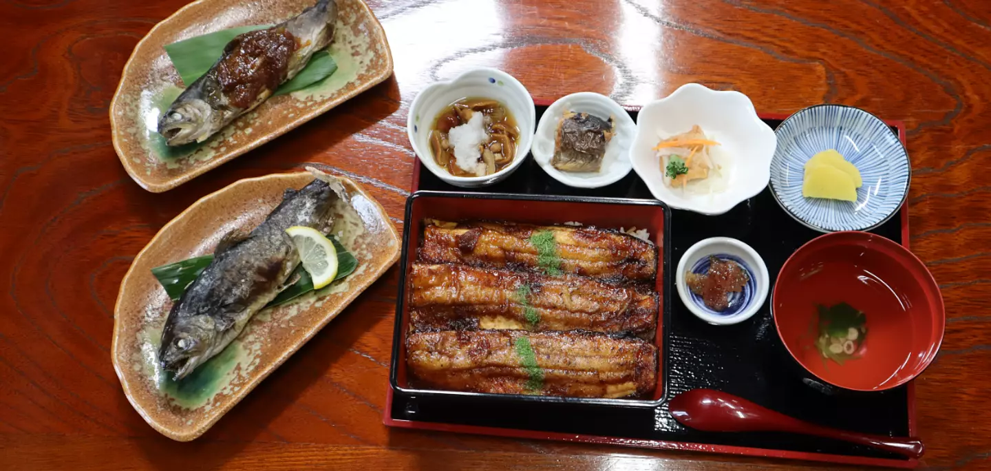
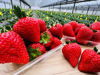
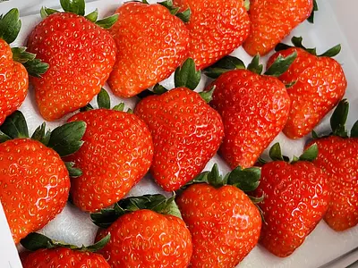
7 山と川のめぐみ 栗原グルメ
8 お土産を買うならコレ!
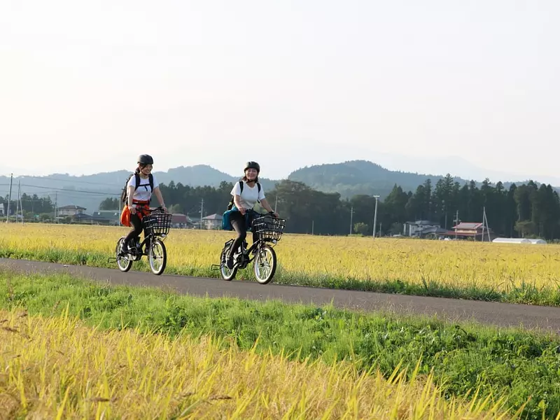
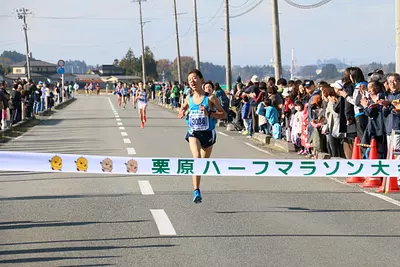
9 くりはらを駆けぬける!
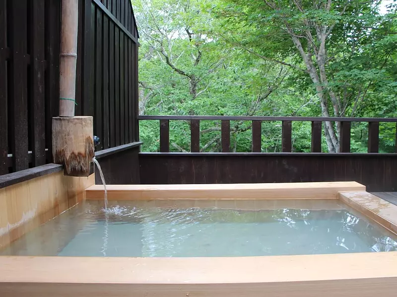
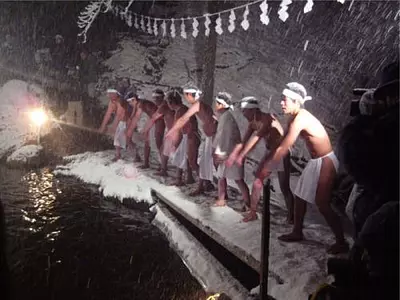
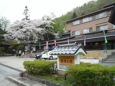
10 秘湯・名湯 栗原の温泉
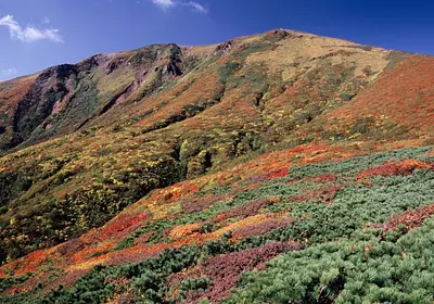
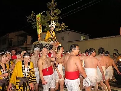
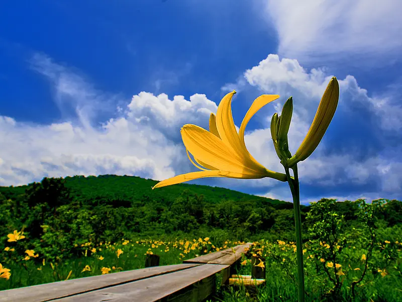
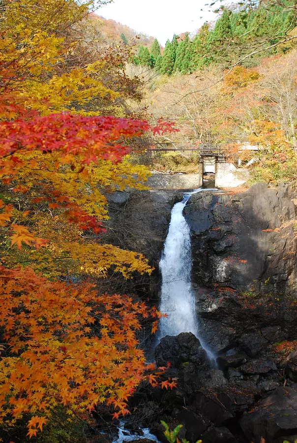
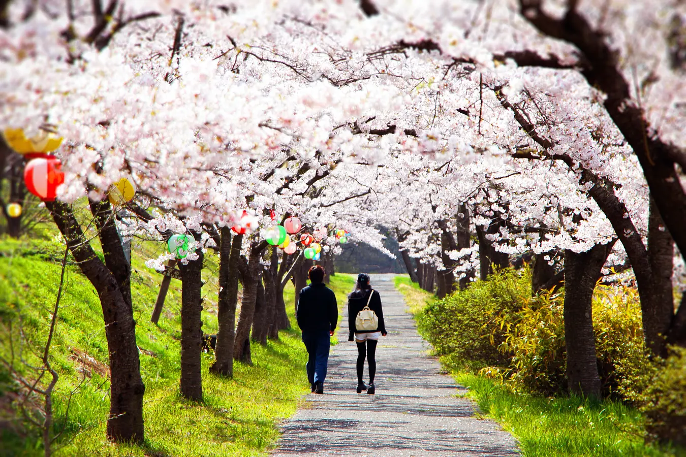
Seasons くりはらの四季


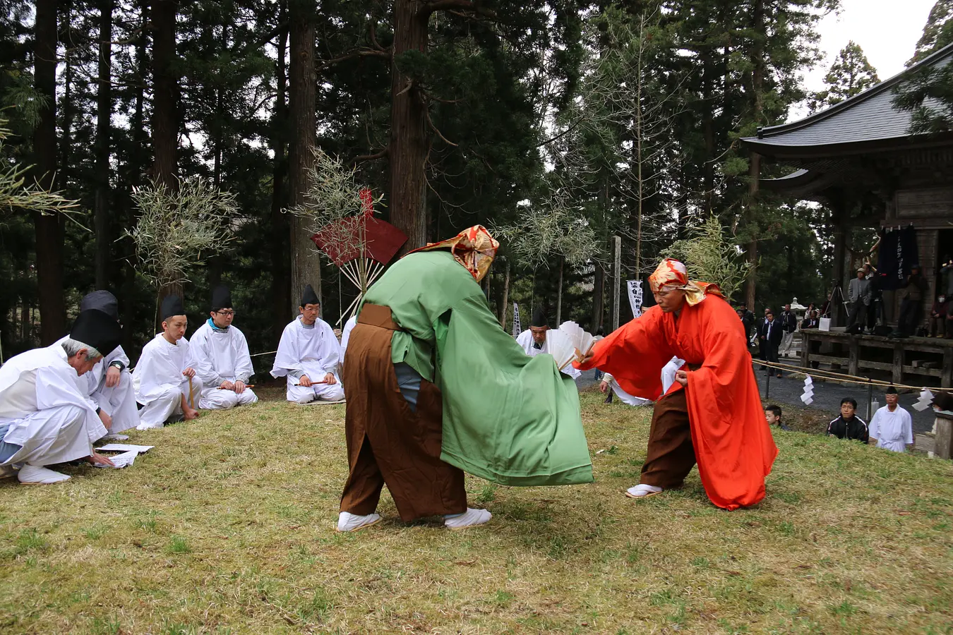
Topics くりはらをもっと知る
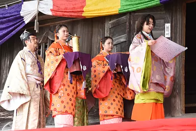
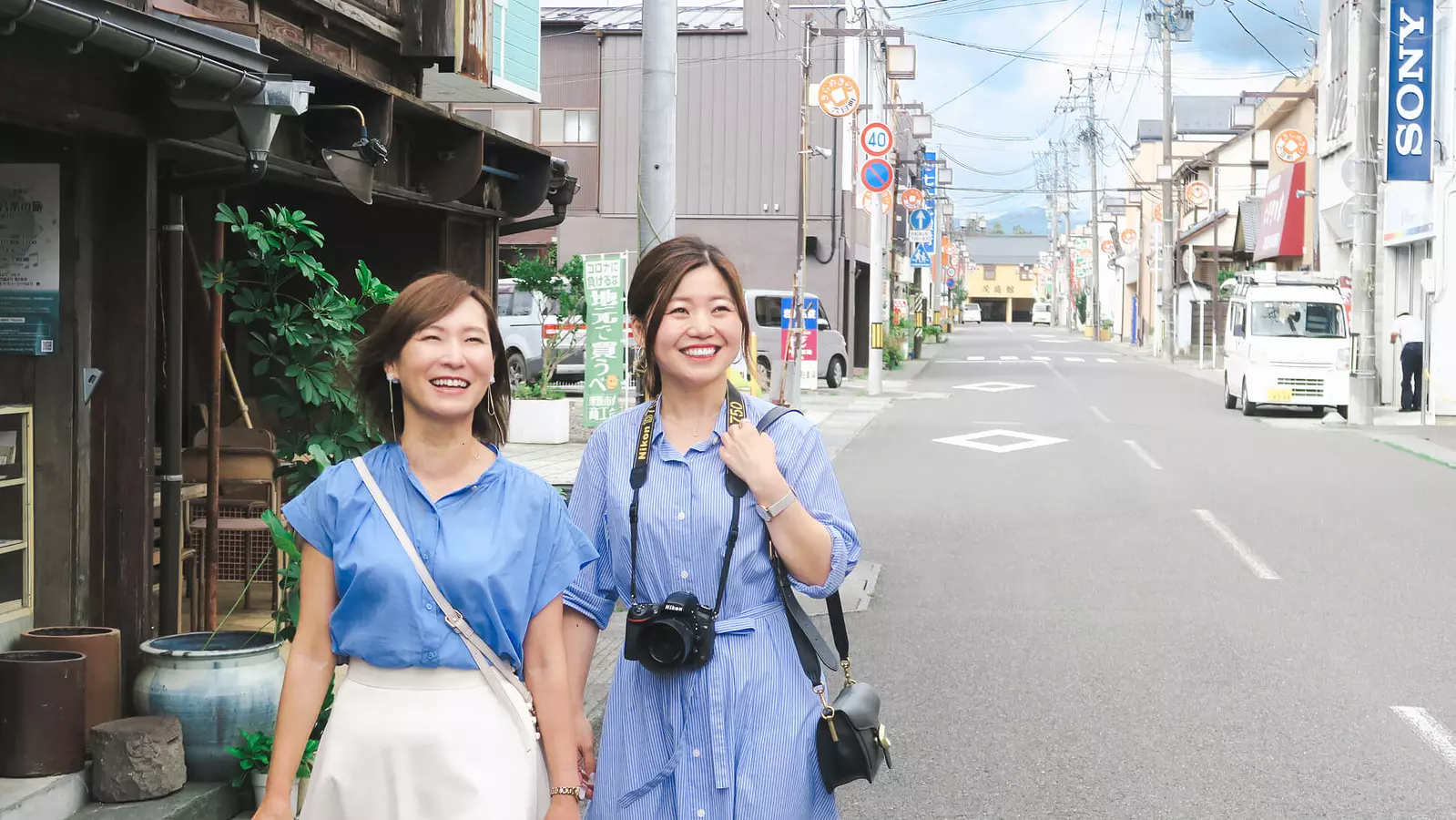
人情薫るまち、有壁②史跡&食事処編
こちらの記事は、『人情薫るまち、有壁①まちあるきツアー編』の続編となっております。 ぜひ、前編からご覧ください。 ▷▶『人情薫るまち、有壁①まちあるきツアー編』https://visit-kurihara.travel/features/20
この特集を読む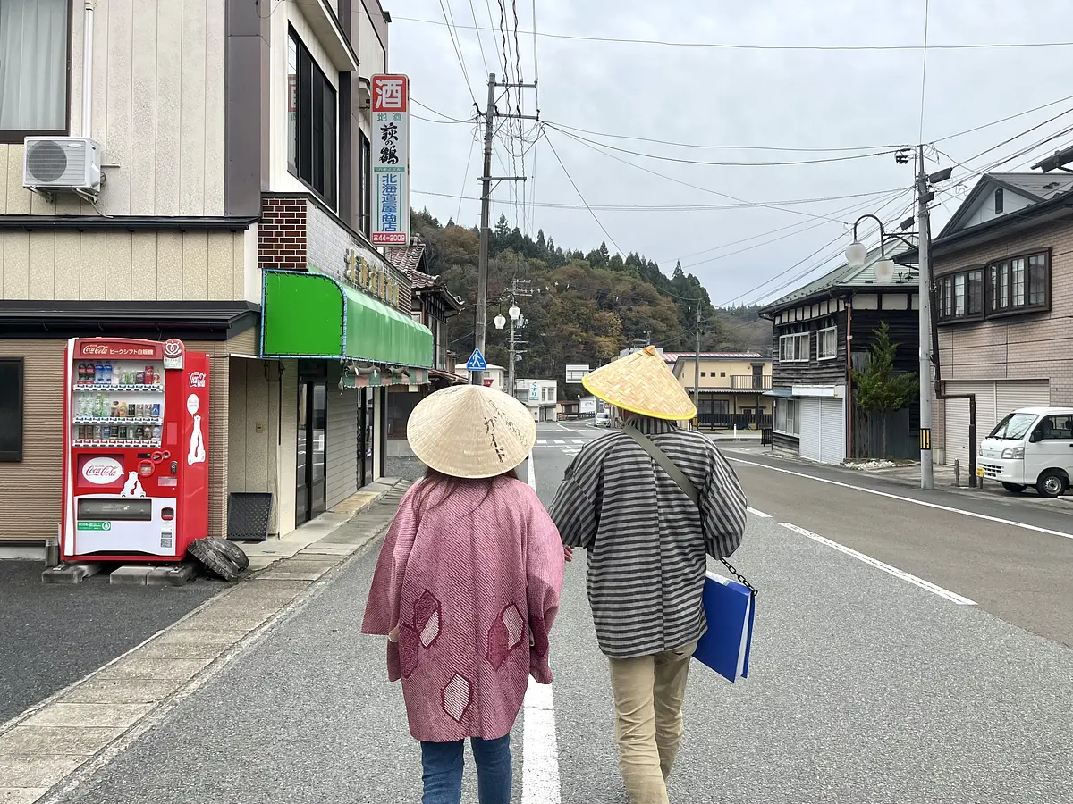
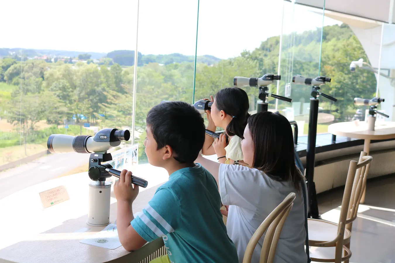
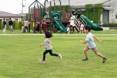
親子で楽しむ夏休み
この特集記事で巡ったコースは、モデルコースとして公開されています。 ぜひ、併せてご覧いただき、夏の思い出作りに栗原市へお越しください。 モデルコース :【親子で満喫コース】夏休みの思い出に!自然・歴史をぐるっと楽しむわくわく旅(約5時間)
この特集を読む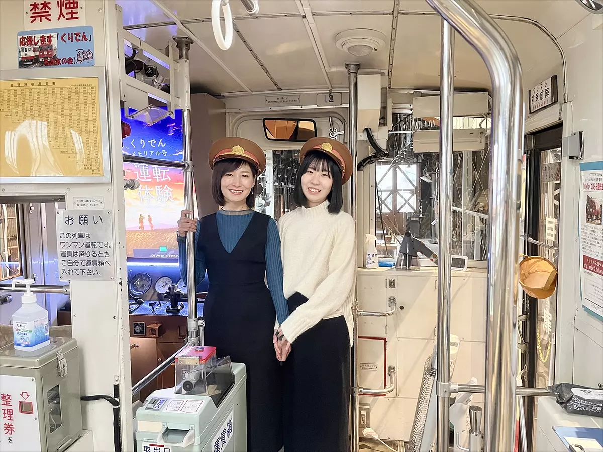
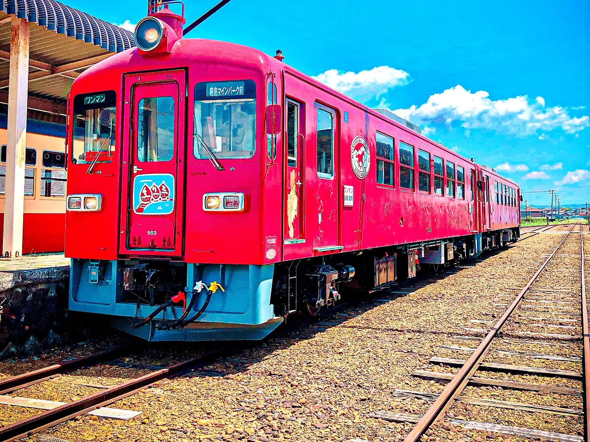
歴史を紡ぐ場所、くりでんミュージアム
栗原市若柳のくりでんミュージアム。2007年(平成19年)に廃線となった「くりはら田園鉄道」の車両を実際に見たり、触れたりしながら楽しむことができる施設だ。 今日はここに、1組の親子がやってきた。
この特集を読む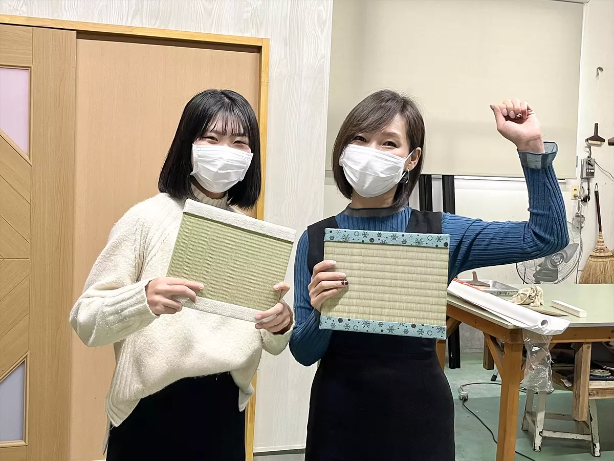
母娘旅 世界にひとつだけのミニ畳作り
コツコツコツ・・・パタパタッ しっかりと地面を踏み締める大人の足音の後に、軽やかで無邪気なステップがあとを続く。ここは栗原市若柳にある只見工業所。江戸時代末1863年(天保7年)から多くの栗原市民に愛されている老舗の畳屋さんだ。
この特集を読む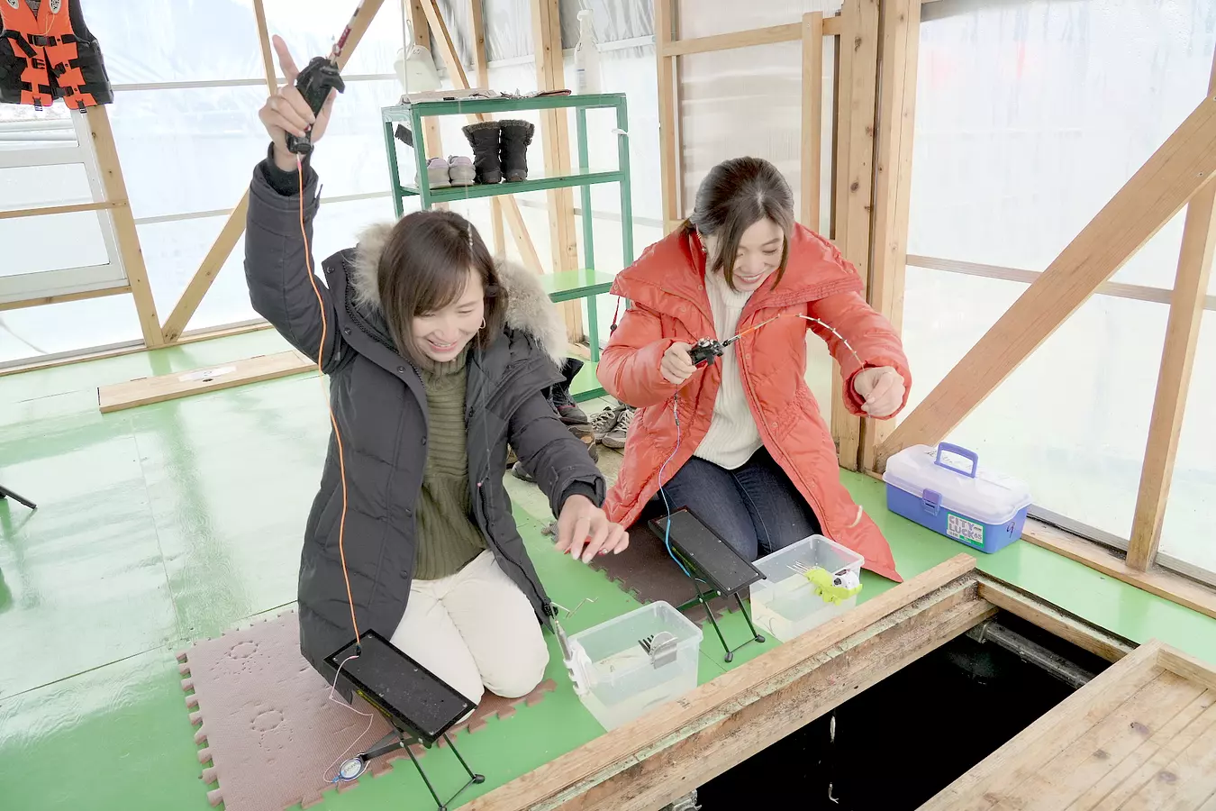
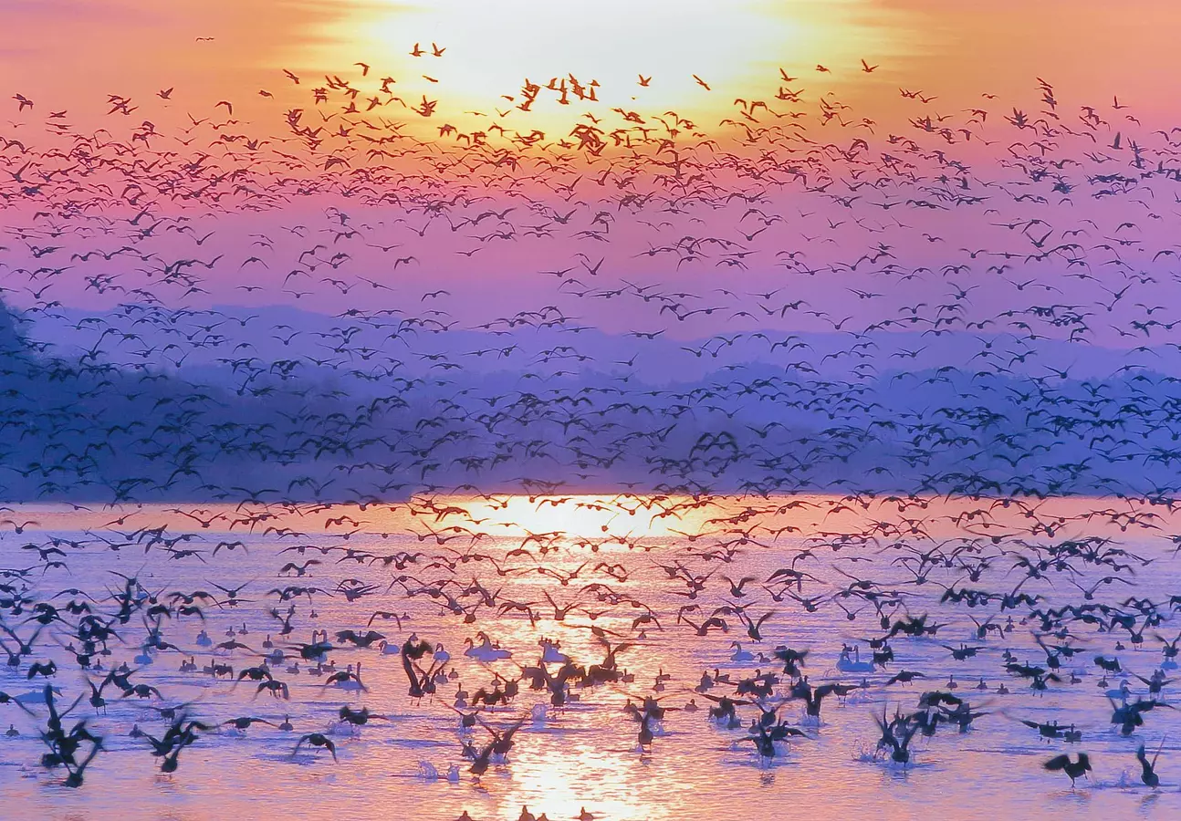
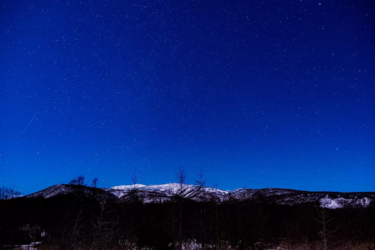
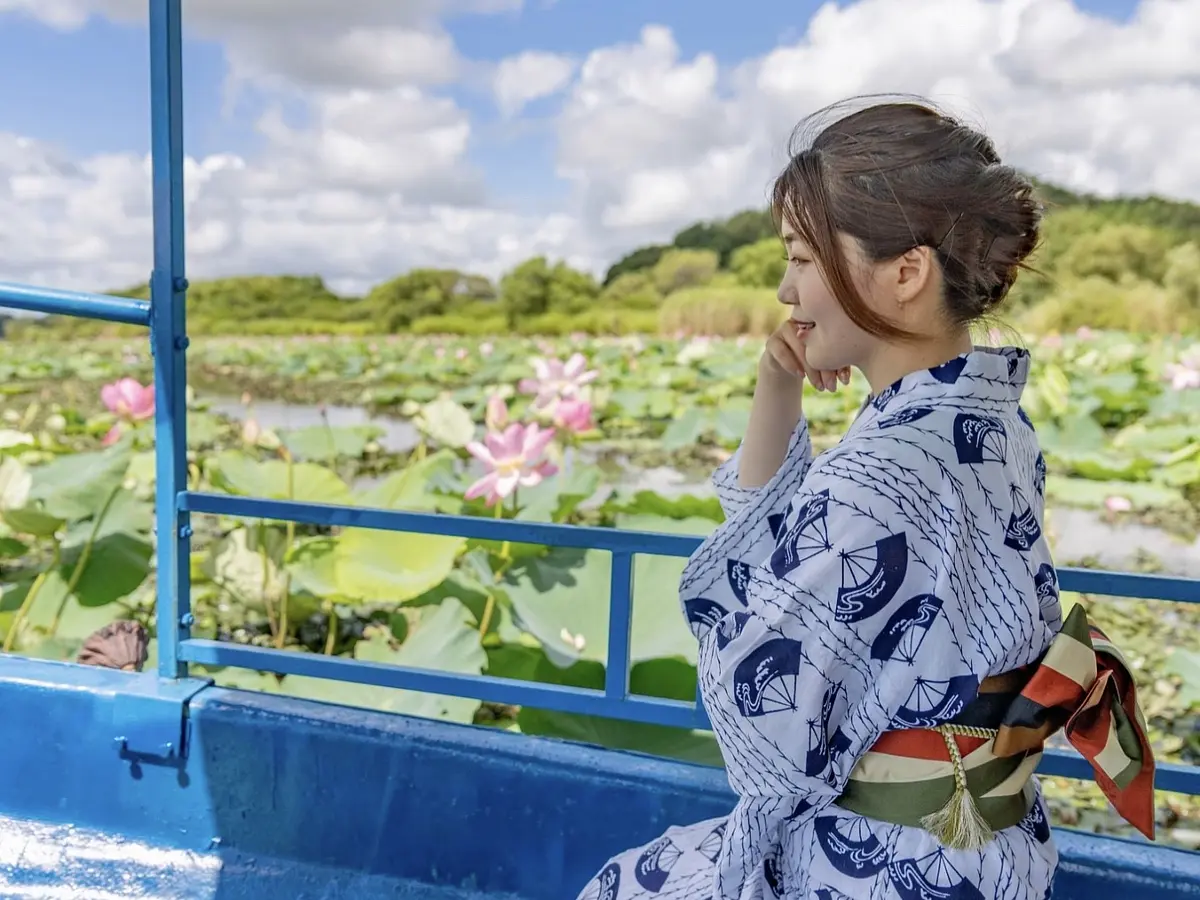
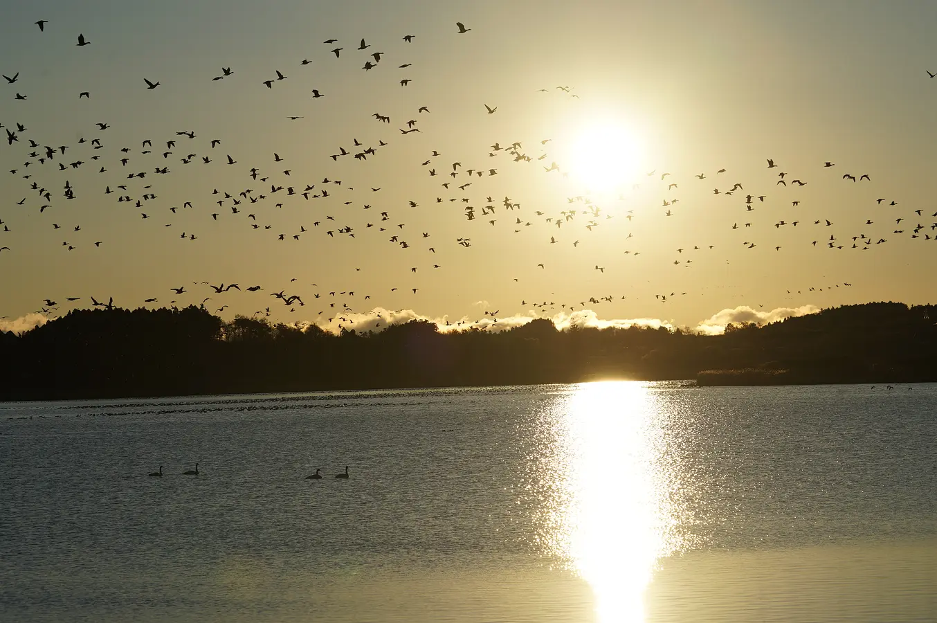
女子旅 伊豆沼・内沼でマガンの飛び立ち
「真っ暗だね…、そして寒い!」 冷たく吹きつける風に、思わず手をポケットに押し込む。二人は宮城県栗原市の若柳地域にゆったりと広がる湖沼、伊豆沼にやってきた。
この特集を読む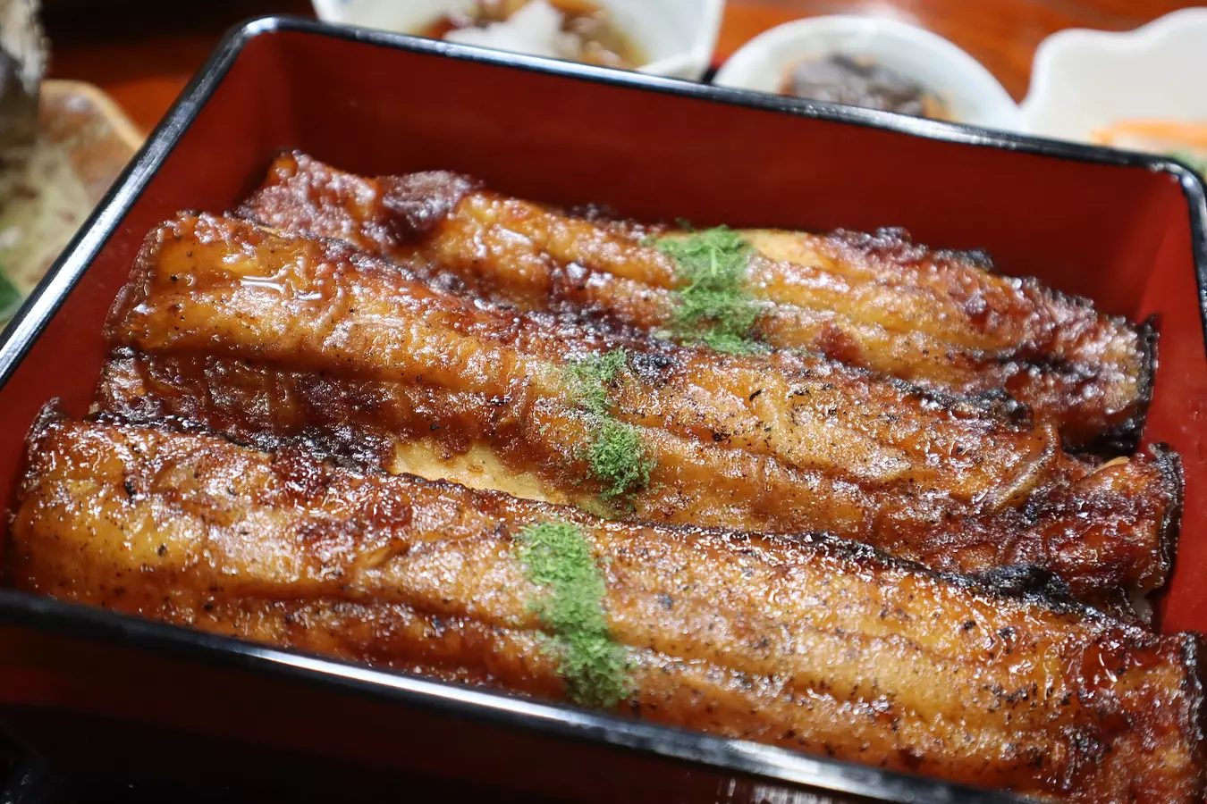
Event イベント
Itineraries くりはらのモデルコース

Ranking アクセスランキング

News 新着情報
SNS ソーシャルメディア

Photo INSTAGRAM


Link リンク